
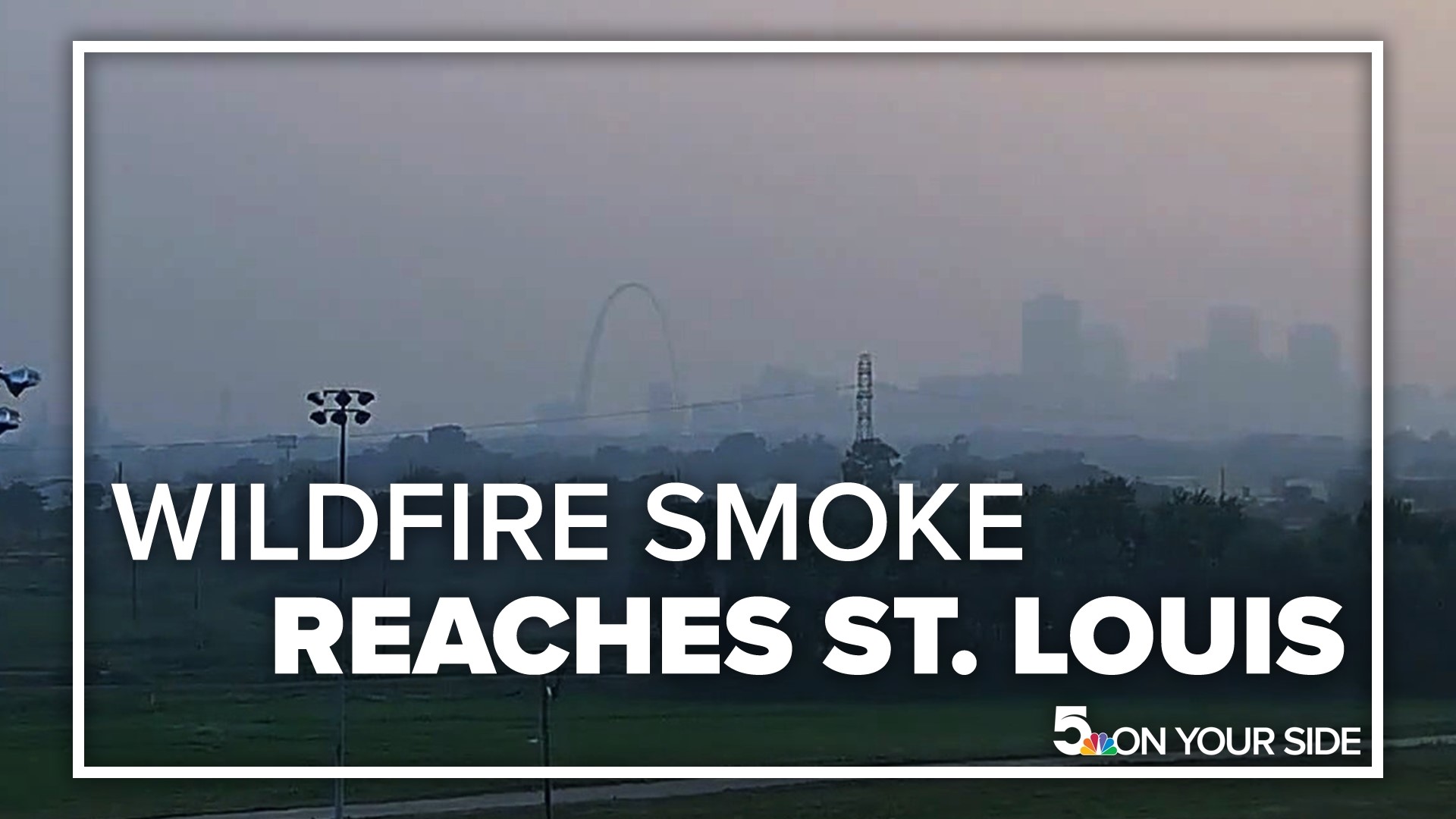
ST. LOUIS — Canadian wildfire smoke arrived in St. Louis Wednesday.
An air quality alert is in effect for the metro St. Louis area and all of Illinois through Wednesday evening. The smoke levels near the ground will likely be the highest early Wednesday morning. During the day, the smoke should become less of a concern as the thickest concentrations move away or disperse.
Those with heart and respiratory problems should limit the amount of strenuous activity outside through at least lunchtime Wednesday.
The most significant smoke is expected to blow out of the area when winds from the south arrive later in the day.
For people looking to track the smoke, multiple U.S. agencies contribute to AirNow, an air quality index tracking system. Part of that system is an interactive map that shows air quality and smoke density across North America.
As of Wednesday at 11 a.m., St. Louis was on the southern tip of the current band of smoke in the central United States.
Air quality in parts of the St. Louis area was in the red Wednesday, meaning everyone should keep outdoor activities short, and sensitive groups should move all activities indoors. Sensitive groups include people with heart or lung disease, older adults, children and pregnant people.
AirNow is a partnership of the U.S. Environmental Protection Agency, National Oceanic and Atmospheric Administration (NOAA), National Park Service, NASA, Centers for Disease Control, and tribal, state, and local air quality agencies.
To watch 5 On Your Side broadcasts or reports 24/7, 5 On Your Side is always streaming on 5+. Download for free on Roku or Amazon Fire TV.