
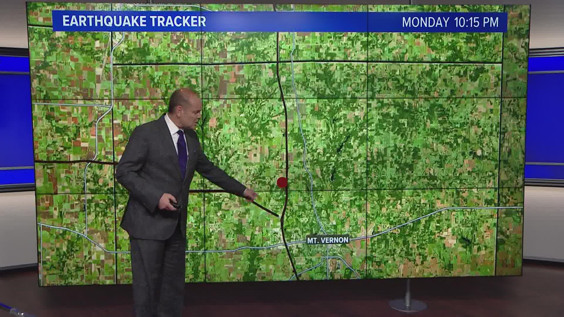
MOUNT VERNON, Ill. — A magnitude 2.3 earthquake struck Monday evening in southern Illinois, the U.S. Geological Survey said.
According to the USGS, the earthquake occurred at around 7:30 p.m. with an epicenter in Mount Vernon, Illinois. The depth of the earthquake was about 9.5 miles, the USGS said.
No damage has been reported as a result of the earthquake.
It's the second earthquake in the St. Louis area in less than a month.
On April 29, a magnitude 2.8 earthquake struck about one mile southwest of Interstate 44 and Highway 141 in Valley Park.
According to the USGS, the earthquake happened at 5:30 p.m. and was at a depth of about 4.9 miles.
The St. Louis County dispatch center reported a large number of emergency calls immediately after the quake, prompting a request by the St. Louis County Office of Emergency Management for people to only use 911 for an emergency situation.
St. Louis is in the Illinois basin-Ozark dome region of the country's tectonic map. The region borders the New Madrid seismic zone to the north and west.
Moderately damaging earthquakes strike somewhere in the region each decade or two, and smaller earthquakes are felt about once or twice a year.
The USGS initially reported Friday's earthquake as a magnitude 2.5 with a depth of about a 1/2 mile (1 km).
Experts warn that hazards like building damage, leaking gas and water lines can occur after earthquakes.