
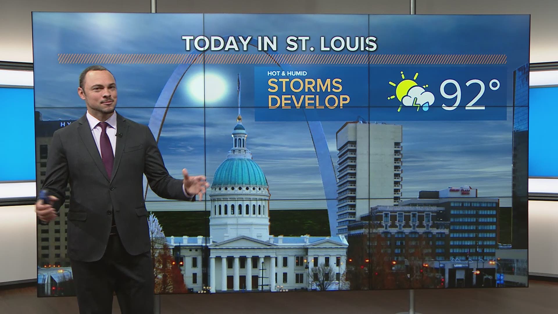
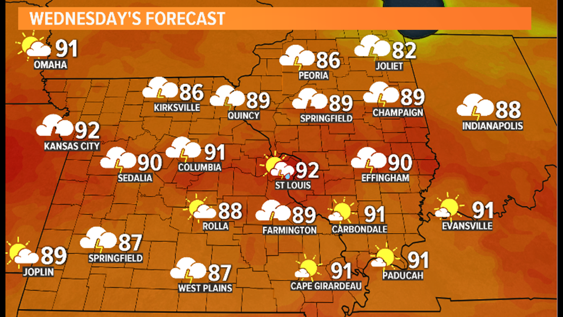
ST. LOUIS — Humid air moved into the bi-state Wednesday morning and as temperatures rise into the lower 90s, heat indices will top out near 95-100 by the afternoon.
A cold front will move in from the north later today, triggering thunderstorms, some of which could be strong to severe.
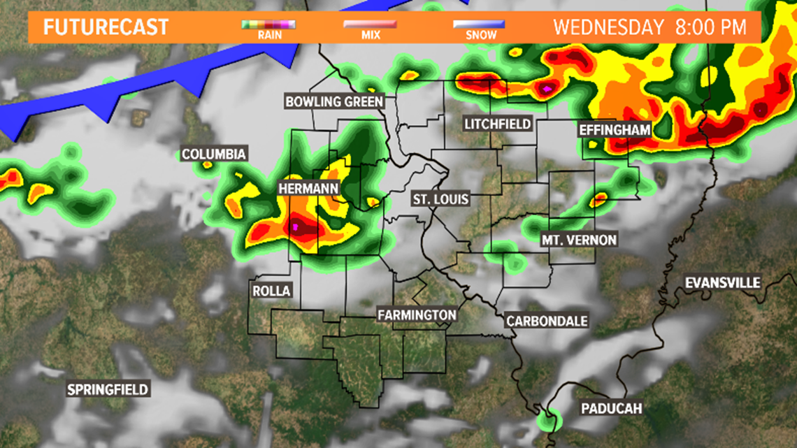
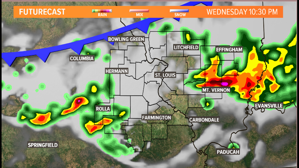
Expect for storms to develop this afternoon and move into the St. Louis metro area by dinnertime. Aside from lightning and thunder, the main severe threats will be damaging, gusty winds in excess of 60 mph and large hail.
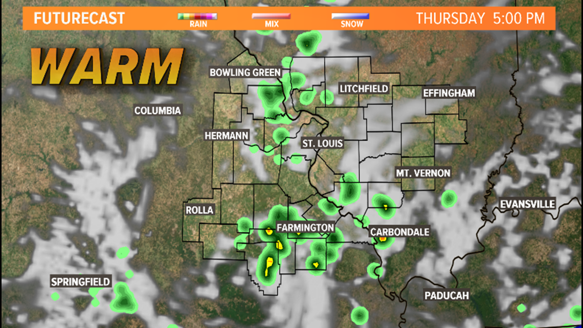
Storms should clear the area overnight with Thursday starting off dry, but more storms are expected to pop up during the afternoon.


Along with spotty storms Thursday and Friday, temperatures will stay warm, if not downright hot through the weekend. Saturday and Sunday high temperatures will top out in the upper 80s to near 90 with dry weather expected.
MORE WEATHER