
ST. LOUIS — Just about as soon as the snow and sleet started up this afternoon, so did the accidents. Roads, especially bridges and overpasses, will be slick through Sunday morning.
Snow totals aren't expected to be high, but coupled with the temperatures plummeting into the 20s overnight, ice will be a concern.

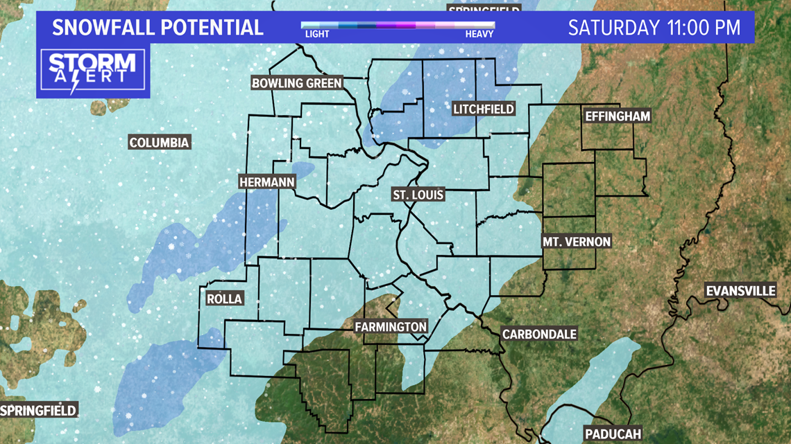
Trace to 1" of snow is forecast for the areas above in the light blue shades. The further west you travel, the higher the snow totals will be. I-70 will have icy areas through Sunday morning.

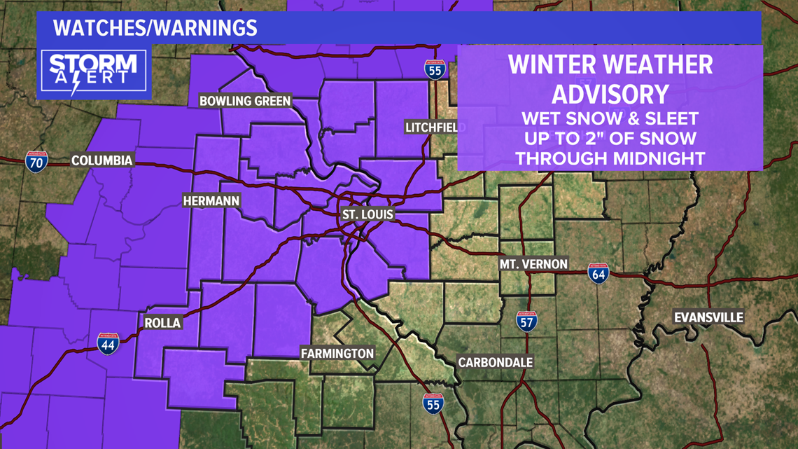
The National Weather Service has issued a Winter Weather Advisory for the counties in purple. Up to 2" of snow are possible in a few areas, most west of St. Louis.
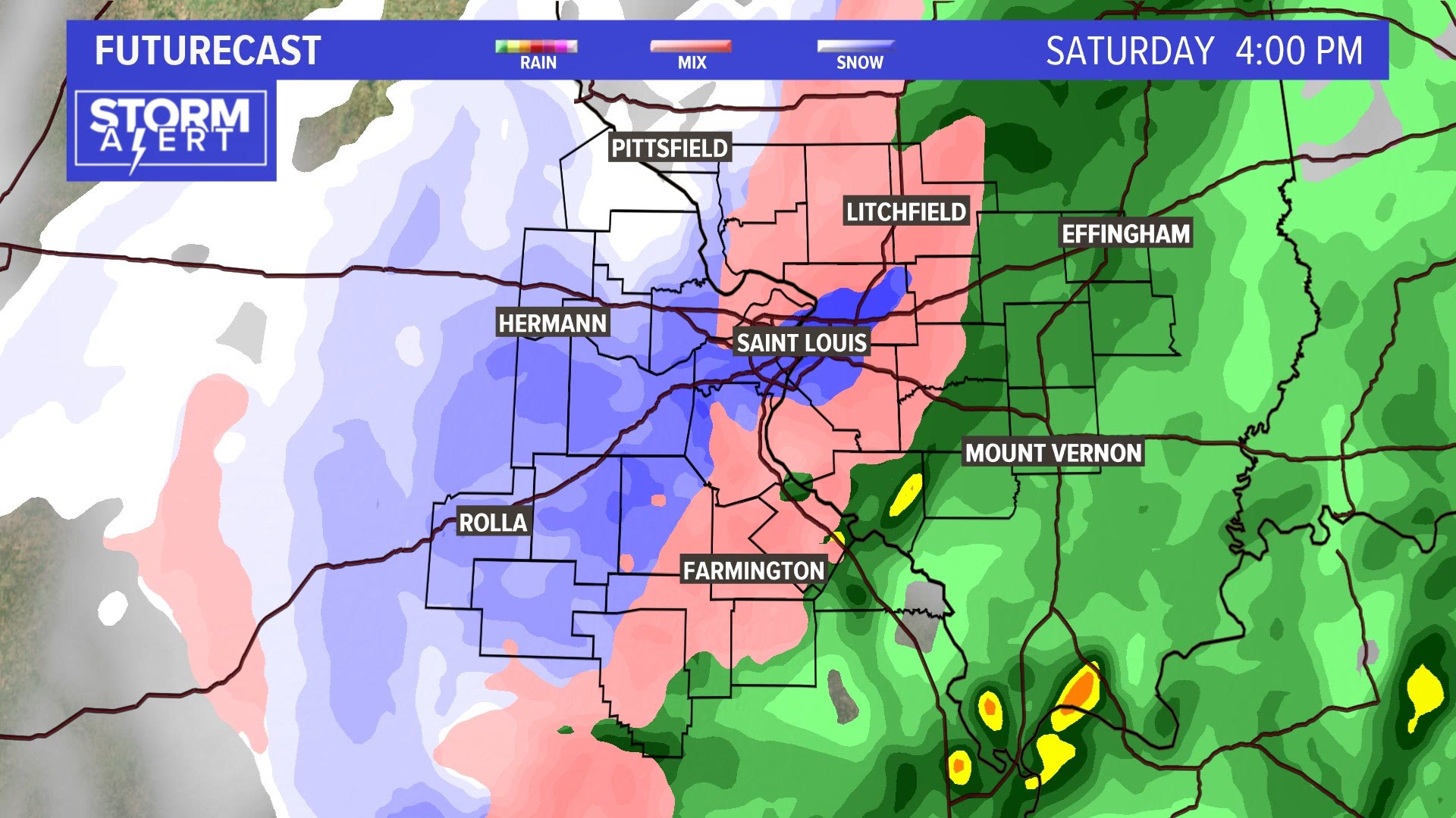
The video below shows the estimated track and duration of this round of wintry weather.
RELATED: Live interactive radar
Download the free 5 On Your Side app to get the latest watches and warnings and track conditions live with our interactive radar. Use the links below to download now.
5 On Your Side news app
iPhone | Google Play